
WALKS · OLLE ROUTE 3
Jeju Olle Route 3 Starts at Our Door: Onpyeong to Pyoseon
Choosing A or B · Waypoints and distances · Stamps and markers · The bus back
Updated · Published 4 min read
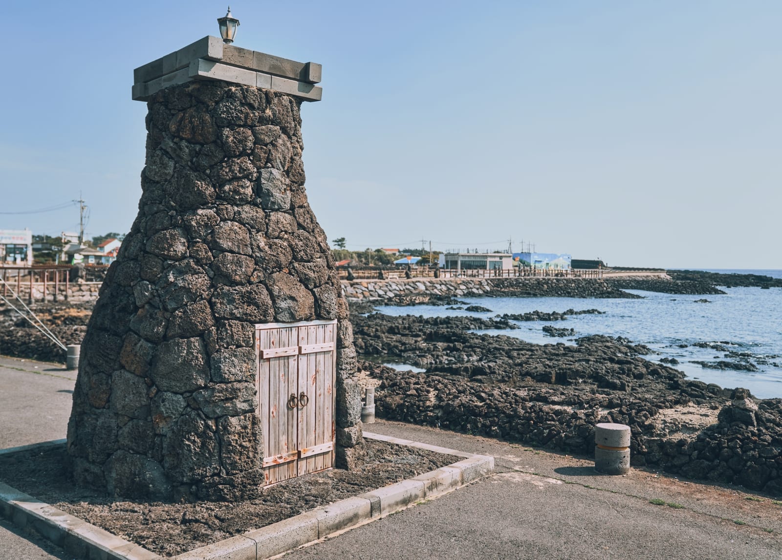
Jeju Olle is a network of walking trails that circles the island, and Route 3 runs from Onpyeong Port to the car park entrance of the Jeju Folk Village beside Pyoseon Beach. Onpyeong is where our house stands, so you can walk out after breakfast and stamp your passport at the port. The route splits into an inland Route A over two oreum and past a photography gallery and a coastal Route B, which rejoin at the Sinpung-Sincheon sea pasture. They differ a lot in length and mood.
Choosing a route: A or B
- Route A — 20.9 km, 6 to 7 hours, rated hard. It turns inland through stone-walled lanes and woodland, climbs Tongoreum and Dokjabong and reaches the Kim Young-gap Gallery Dumoak. Climbs, little shade and few shops: set aside the whole day.
- Route B — 14.6 km, 4 to 5 hours, rated easy. It follows the shore past the Sinsan sea wall, a village café in Sinsan-ri and Jueodong harbour to the pasture. Nearly flat, with the sea beside you throughout.
- After the junction — Both routes share the path over the "Hungry Bridge" to Pyoseon. The finish is the Jeju Folk Village car park entrance.
First-timers should take Route B; choose A for the oreum and mid-slope farmland. Distances and times are from the official Jeju Olle guide as of October 2026.
Route A: over the mid-slopes to Dumoak
- Tongoreum (km 7.2) — A low cone, 143 m above sea level and 43 m above the land around it, named for its tub-shaped crater. In autumn the ridge turns purple with pinks and asters.
- Dokjabong (km 8.2) — 159 m high with a 79 m rise, a horseshoe crater with the remains of a Joseon-era signal-fire station on top. Each oreum takes about 20 minutes.
- Kim Young-gap Gallery Dumoak (km 11.9, midpoint stamp) — A converted village school showing the work of photographer Kim Young-gap, who photographed Jeju's fields and oreum until his death in 2003. Adults 5,000 won (as of September 2025); check the closing day before you go. Restaurants nearby make it the natural lunch stop.
- Sinpung-Sincheon sea pasture (km 14.5) — A wide private grassland on the shore, grazed by cattle, with the trail passing through. Known for tangerine peel drying in winter, though that varies by year.
Route B: the sea wall and the pasture
- Sinsan sea wall (km 2.9) — A section of the hwanhaejangseong, the stone defensive wall built along the coast from the Goryeo period. The same wall survives on the Onpyeong shore beside the stone beacon in this guide's hero photo.
- Sinsan-ri village café (km 5.7, midpoint stamp) — Almost the only place to rest mid-route. Shops are scarce beyond here, so top up water and snacks.
- Jueodong harbour (km 6.7) and the pasture (km 8.2) — Past a small harbour you reach the pasture where Route A joins. Sea and grassland in one frame is Route B's high point.
Markers, stamps and water
- Markers — Two ribbons tied together, blue and orange, mean you are on the Olle. Blue arrows point forward, orange arrows back, and the head of the pony-shaped "ganse" signpost points the way. If you lose the markers, go back to the last one.
- Stamps — Start at Onpyeong Port; midpoint at Dumoak (A) or the Sinsan-ri café (B); finish at the Folk Village car park entrance. The paper passport costs 20,000 won (October 2026); the mobile app uses QR check-ins.
- Clothing and water — Long sleeves and trousers even in midsummer, because of ticks. Carry plenty of water, and do not walk after 6 pm in summer or 5 pm in winter, the official safety rule.
- Toilets — Route A: Onpyeong Port, the Dokjabong entrance and the finish. Route B has none marked mid-route; use the café and harbour areas.
Getting back from Pyoseon to Onpyeong
Pyoseon Haevichi Beach beside the finish opens into a huge sand flat at low tide and lies as calm as a lake at high tide, perfect for cooling your feet. To return, take bus 201 towards Seongsan from the Pyoseon-ri stop to the Onpyeong-ri stop; buses run every 15 to 22 minutes (October 2026). To warm up the day before, try the Honinji legend walk behind the house, or keep going along the sea with the Seongsan coastal walk.
Places in this guide
Map of places
Numbers match the map pins. Open any place in Kakao Map, Naver Map or Google Maps.
Map data © OpenStreetMap contributors
Walk
Onpyeong Port
End of Olle Route 2 · start of Route 3
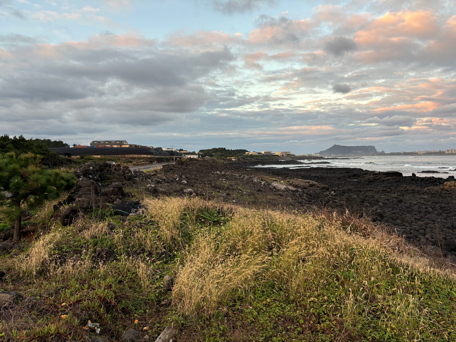
Photo: Chipmunkdavis · CC BY-SA 4.0 · Wikimedia Commons Indoor
Kim Young-gap Gallery Dumoak
Route 3-A midpoint stamp · check closing day
Sight
Sinpung-Sincheon Sea Pasture
Where Routes A and B meet · private land, stay on the trail
Sight
Pyoseon Haevichi Beach
Huge sand flat at low tide · end of Olle Route 3
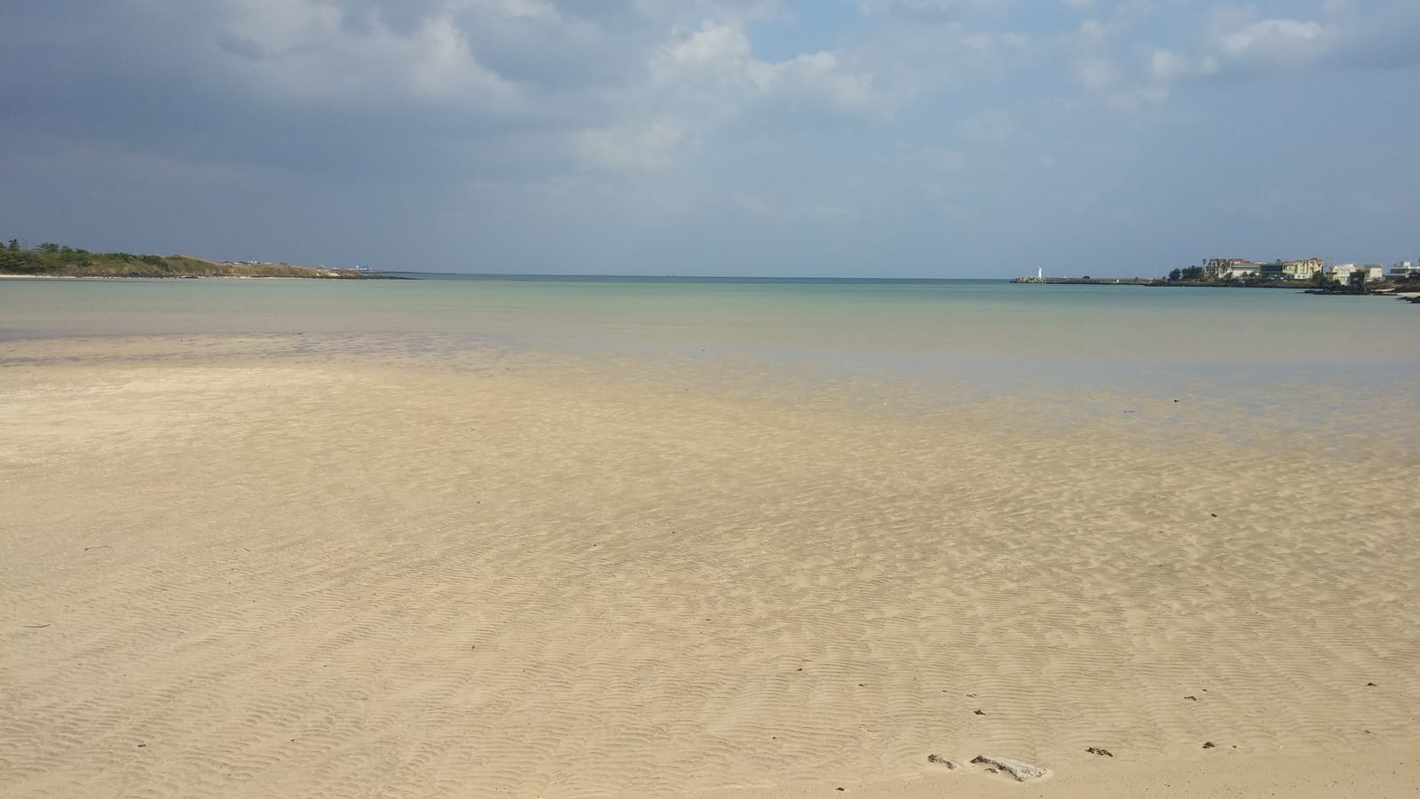
Photo: Jocelyndurrey · CC BY-SA 4.0 · Wikimedia Commons Stay
Jeju Daily
Private house, one group a day · about 5 min by car from Ilchulbong

Questions
Questions
Q. Does Route 3 pass Honinji Pond? +
Q. Can I mix Route A and Route B stamps? +
Q. Where can I bail out partway? +
Read next
Read next
THE VILLAGE WHERE ROUTE 3 BEGINS · ONPYEONG
Jeju Daily
A single-story private house in Onpyeong, the village where Olle Route 3 starts. Walk out in the morning for your first stamp at the port, ride the bus back from Pyoseon and rest on the lawn. Three bedrooms, two baths, BBQ deck. Up to 12 guests, with the same rate from 1 to 6.